
 English
 Français
 Deutsch
 Italiano
 Turkish
 Greek
 Serbian
Utilization of drones in the cultural landscape




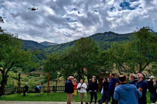
The National Institute of Cultural Heritage has organized the training program “Cultural Landscape in the Highlands of Albania and Kosovo.” According to IKTK, this training opens a platform for important discussions regarding the cultural landscape and contemporary approaches to its preservation and management.
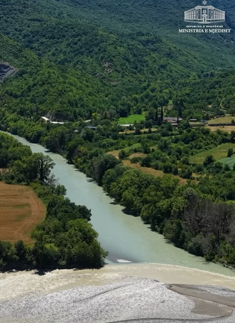
One of the key points of this training was the use of drone photogrammetry. Drone photogrammetry is a method that utilizes drones to perform aerial scans and capture high-precision photographs, creating maps and three-dimensional models of the terrain. This technique is essential in architecture, archaeology, construction, and the management of cultural landscapes, as it allows for detailed studies of the terrain and historical monuments.
Among the benefits of drone photogrammetry are its high accuracy, time efficiency, environmental responsibility, and accessibility to difficult areas.
/a.c/
Të ngjashme
Latest News





Most read









 RTI