
 English
 Français
 Deutsch
 Italiano
 Turkish
 Greek
 Serbian
Advancing Geospatial Research in Albania through GIS Integration




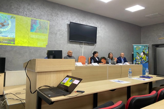
The integration of Geographic Information Systems (GIS) into scientific research was highlighted through the exploration of key techniques employed in spatial databases by the National Authority for Geospatial Information (ASIG). This initiative aims to foster scientific inquiry beyond academic institutions.
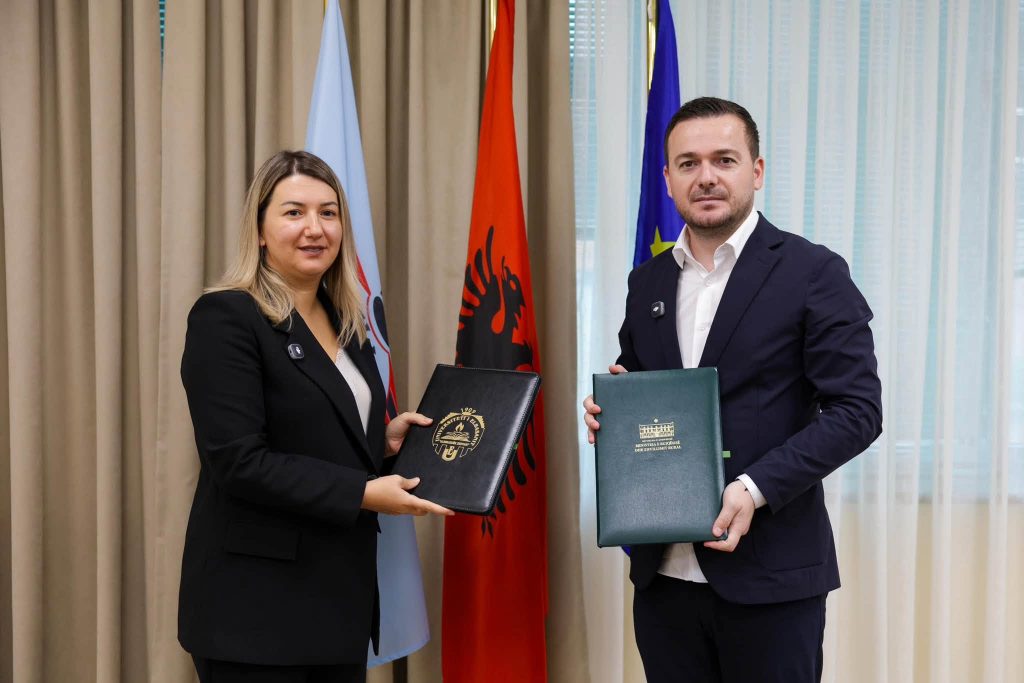
A recent event held at the Faculty of History and Philology was dedicated to formalizing a collaborative agreement, with the goal of fostering inclusivity in the use of geospatial data. “The approval of these standards ensures that this platform remains relevant and user-friendly for all. Geospatial data will be freely accessible to everyone, including students,” remarked Vilma Tomço from ASIG.
Geospatial data provided by the authority is applied for advanced analyses using the infrastructure of the Department of Geography at the University of Tirana. “At the heart of this forum is geoinformation technology, supported by the scientific research infrastructure offered by the Department of Geography. Furthermore, the University of Tirana serves the decision-making needs of public institutions, businesses, and associations,” explained Sonila Sinjari, Head of the Department of Geography.
Additionally, a 2019 decision by the Council of Ministers mandates that local decision-making institutions engage with university services, further enhancing the application of GIS in governance and policy development.
/a.c/
Të ngjashme




Latest News




Most read









 RTI